|
|
|
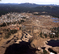 Grazed PG&E land at mouth of Robber's Creek, Town of Westwood and old
millpond
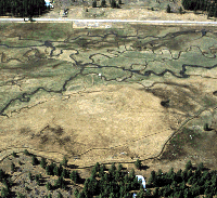 Where
are the Willows? (Goodrich Creek off of Highway 36)
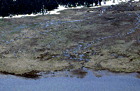 Grazed
PG&E land at the mouth of Deerheart Creek on south shore of Reservoir
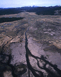 Grazed PG&E land at mouth of Goodrich Creek
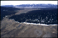 Upper Goodrich Creek above Highway 36
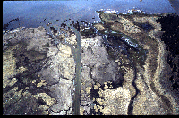 Grazed PG&E land at mouth of Goodrich Creek
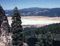 Mountain Meadows Reservoir in a drought year.
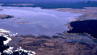 Wetland areas on east shore of Reservoir
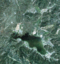 1996 Landsat image of Reservoir and adjacent meadows
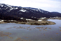 Along south shore of Reservoir
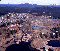 Grazed PG&E land at mouth of Robbers Creek
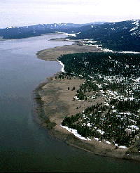 Along south shore of Reservoir near Dam
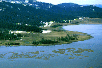 Along
south shore of Reservoir near Homer Creek
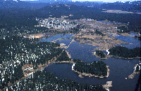 Reservoir and Westwood sewer ponds.
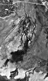 1993 Aerial photo of Lower Goodrich Creek at Mountain Meadows Res.
About Mountain Meadows
Bird's Eye View
Regional
Map
Ownership
Map